Nepal strengthens forest monitoring capacity through Open Foris Arena
October 2, 2026
Julian Fox – 07/10/2026
With World Space Week having kicked off this 4 October, much of the public conversation will be focused on exploration and humanity’s ambitions beyond Earth.
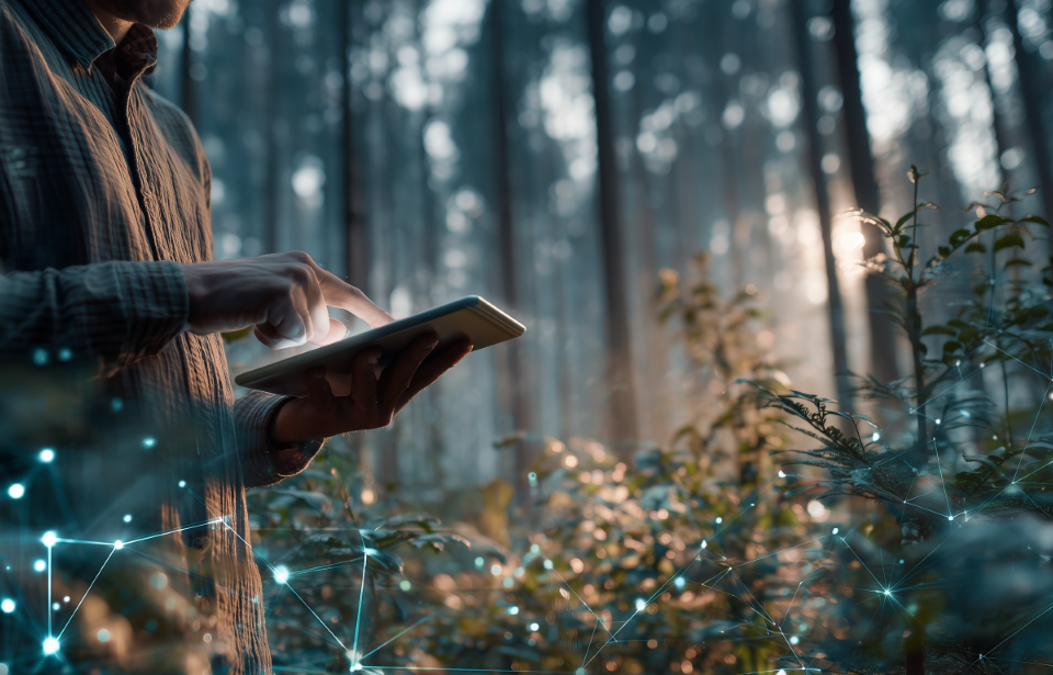
However, some of the most important applications of space technology have little to do with distant planets. Rather, they are helping us understand and protect something much closer to home: the forests that sustain life on our planet.
Every year, 10.9 million hectares of forest are lost through deforestation, equivalent to 14 million football pitches. Regrowth and new planting offset roughly half of that, leaving a net loss of about four million hectares each year.
The consequences extend far beyond the trees. Deforestation accelerates climate change, threatens biodiversity, disrupts water systems and undermines the livelihoods of millions of people.
Recognizing the scale of the challenge, governments have pledged to restore one billion hectares of degraded land by 2030.
The fundamental question is: how do we know whether we are making progress?
That answer increasingly lies in space.
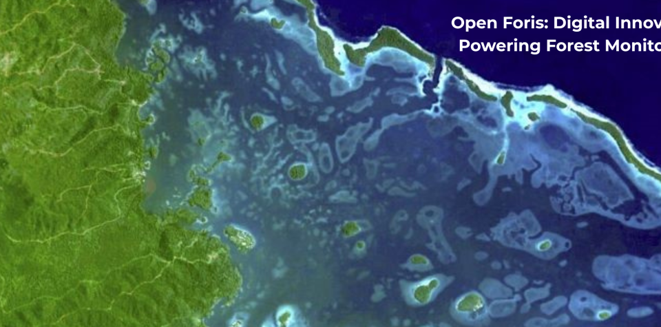
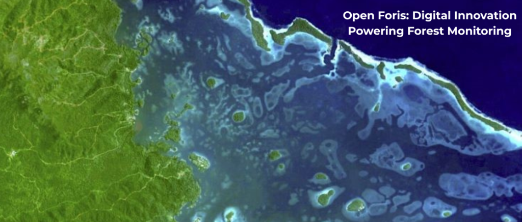
Satellites and the monitoring systems built around them are becoming central to environmental accountability, giving countries the ability to detect forest change, monitor critical ecosystems and report on their climate commitments with a rigour that was impossible a generation ago.
The Food and Agriculture Organization of the United Nations (FAO) supports governments in collecting, analysing and reporting forest data that informs policy, investment and reporting. FAO has also helped democratize access to technologies that were once available only to a handful of specialists.
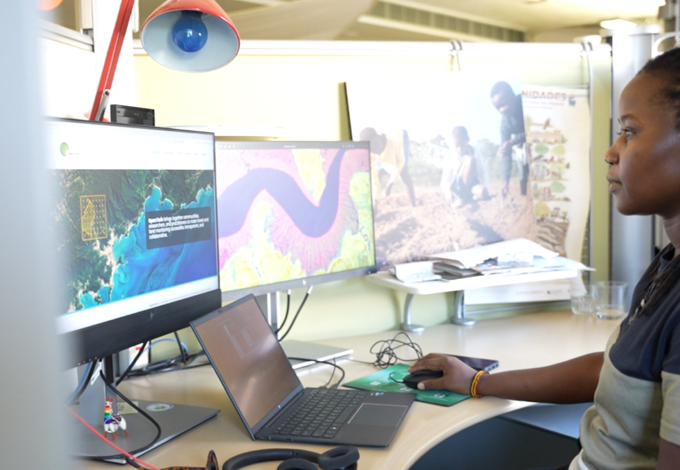
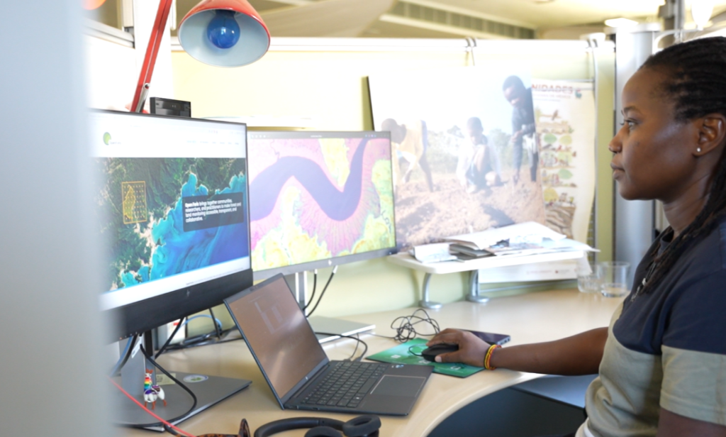
Today, a forestry officer in a remote province can access powerful cloud-based platforms, analyse satellite imagery and examine relevant data through open platforms such as SEPAL and Open Foris.
One partnership illustrates this in practice. A recently renewed agreement between FAO and the Japan Aerospace Exploration Agency (JAXA) integrates JAXA’s advanced Earth observation capabilities into FAO’s forest monitoring systems, strengthening countries’ ability to detect and report forest change.
Persistent cloud cover creates a challenge in monitoring tropical forests, obscuring conventional satellite imagery for much of the year. JAXA’s ALOS-2 radar satellites overcome this obstacle by using technology capable of observing the Earth’s surface through clouds and at nighttime.
Modern monitoring systems are also more inclusive. FAO’s capacity development programmes are helping local communities and Indigenous Peoples to use digital platforms to map, understand and manage their landscapes.
Radar is not a cure-all, and its imagery still needs ground validation, but it removes a blind spot in tropical forest monitoring. Deforestation is detected faster, and countries can better monitor forests, mangroves, peatlands and other ecosystems critical for climate regulation and biodiversity conservation.
Reliable forest monitoring supports implementation of the Paris Agreement, advances the Sustainable Development Goals and supports the UN Decade on Ecosystem Restoration. It also helps countries access climate finance and results-based payments that increasingly depend on accurate measurement, reporting and verification systems.
With better data, governments can target interventions more effectively. Investors can make more informed decisions. And, importantly, accountability is being strengthened at a time when the world urgently needs evidence that climate commitments are translating into action.
Globally, there is a net loss of about four million hectares of forest each year. Accountability depends on measurement and monitoring, but it is only the first step. ©FAO/Wilder Portillo
But better data does not automatically produce better outcomes. While the world can now watch deforestation almost as it happens, it still continues. In 2024, forest loss ran well above the pace needed to meet the 2030 goal of halting it.
Monitoring matters because accountability depends on measurement. Now the main challenge is bridging the distance between what we can see and what we actually do about it.
During this World Space Week, it is worth remembering that space exploration is not only about reaching farther into the cosmos but about seeing our own planet more clearly.
Every image from orbit and dataset transmitted back to Earth helps us better grasp the natural systems on which we all depend. Sometimes the most important discoveries made in space are the ones that help us manage our planet more sustainably.
Learn more
- FAO & Forests
- SEPAL Forest and Land Monitoring for Climate Action
- Open Foris: Free open-source solutions for forest and land monitoring
Julian Fox is an FAO Senior Forestry Officer