
Strengthening Armenia’s Forest Monitoring Through Digital Innovation
May 15, 2026
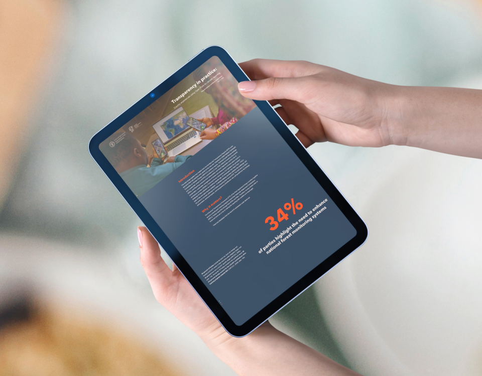
Boosting transparency of forest data – New FAO digital publication showcases how Open Foris is strengthening climate transparency globally
July 17, 2026
Transparent and accessible forest data is essential for effective climate action. As countries work to meet their commitments under the Paris Agreement, the need for reliable, open, and user-friendly tools for data collection and analysis continues to grow.
To support this global effort, the Food and Agriculture Organization of the United Nations (FAO), has been investing into developing digital solutions for forest data transparency. At the core of FAO’s digital solutions is Open Foris, a suite of free and open-source software solutions that support countries, organizations, researchers and practitioners in collecting, managing, analyzing and reporting forest and land-use data more transparently.
Open Foris Portfolio
Open Foris’ free and open-source nature makes advanced forest and land monitoring capabilities accessible to everyone, everywhere, ensuring that financial constraints do not impede access to essential monitoring solutions. It offers a portfolio of powerful yet user-friendly platforms and solutions, each designed to address specific aspects of forest and land monitoring, enabling the generation of actionable insights. Designed to be adaptable, Open Foris solutions empower users, from students to national experts, to work with geospatial and field data efficiently and transparently.
The Open Foris Portfolio include:
Field data collection solutions
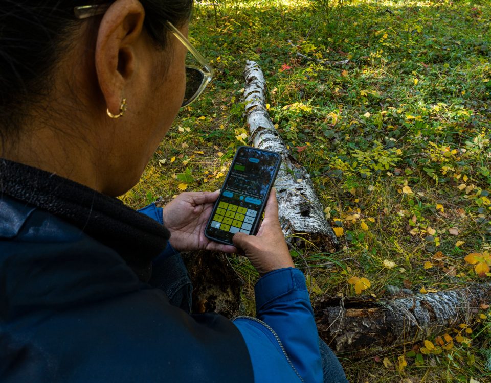
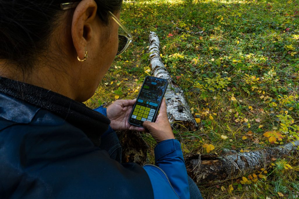
- Ground – an open-source, map-first data collection web console co-developed by Food and Agriculture Organization (FAO) and Google that enables non-technical users to easily create surveys and collect georeferenced field data via an Android app. Ground is designed for non-technical users, making field data collection easy and accessible. It supports sustainability monitoring, restoration, and training data collection.
- Arena Mobile – a next-generation, cross-platform application (Android and iOS) for efficient field data collection. It is tightly integrated with Arena, allowing users to collect, validate, and synchronize data in real time or offline. The mobile app is ideal for teams conducting large-scale inventories, restoration monitoring, or rapid assessments in remote areas.
Data management solutions
- Open Foris Collect – the trusted desktop solution for field-based inventories worldwide. Proven through hundreds of real-world surveys, it offers a robust environment for designing complex questionnaires, managing diverse data types, and enforcing advanced validation rules. With its user-friendly interface and multilingual support, Collect helps teams turn field observations into reliable, consistent information – empowering better decisions on land, forest, and resource management.
- Arena – a modern, cloud-based platform designed for comprehensive forest and other environmental surveys, socio-economic surveys and other applications. It allows users to fully customise survey structures, variables, and validation rules, supporting multilingual data collection, management, and processing. Its dynamic form designer, taxonomy management, and real-time collaborative features make it ideal for both national forest inventories and complex, multi-cycle surveys.
Visual interpretation solutions
- Collect Earth – a free, open-source desktop tool for monitoring land with satellite images. It enables users to view, interpret, and record information using imagery from Google Earth Pro and Google Earth Engine.
- Collect Earth Online (CEO) – the next generation web-based platform for geospatial analyses that provides a free, open-source, intuitive interface for accessing and interpreting high-resolution satellite imagery through a variety of sources, including Planet and imagery through Google Earth Engine.
Geospatial analysis solutions
- System for Earth observation data access, rocessing and analysis for land monitoring (SEPAL) – an open-source, cloud-based computing platform developed by the Food and Agriculture Organization (FAO) to enable efficient processing and analysis of satellite data for land and forest monitoring. SEPAL allows users to quickly access, analyze, and visualize high-resolution satellite imagery—enabling better policy decisions and improved reporting for international climate and sustainability goals.
- Earth Map – a user-friendly, web-based tool for visualizing and analyzing global climate and environmental data. Developed in partnership with Google Earth Outreach, it allows users to access, visualize, and analyze a wide range of geospatial datasets, including climate variables, vegetation indices, and land cover data. Earth Map is designed for accessibility, requiring no specialized technical skills, and supports decision-making for land management, restoration, and climate adaptation.
Other
- What is in that plot (Whisp) – an open-source solution which helps to produce relevant forest monitoring information and support compliance with deforestation-related regulations. Whisp is robust, transparent, and replicable, built on interoperable open standards. All code is open, publicly available, and can be inspected, reproduced, and adapted on GitHub.
- FERM – it consists of a geospatial platform and a registry of restoration initiatives. It is the official monitoring platform for tracking global progress and disseminating good practices for the UN Decade on Ecosystem Restoration. It also supports countries in reporting areas under restoration for the Kunming-Montreal Global Biodiversity Framework Target 2. The FERM Registry provides a harmonized data collection mechanism to aggregate data from restoration platforms.
Together, these open-source tools provide an integrated digital ecosystem for transparent and efficient forest monitoring.
Technology enabling transparency
By making tools open, adaptable and globally accessible, Open Foris strengthens countries’ capacity to meet transparency requirements under the Paris Agreement. It also enables students, researchers, and practitioners to innovate, collaborate, and contribute to national and global forest data systems.
Access and explore
Discover how Open Foris is transforming forest monitoring through technology and explore its tools to support your work in climate action and sustainable forest management.
- Interactive Webstory Harnessing technology and innovation to transform our forests?