Monitoring forests from space: a new era of forest monitoring and protection
October 7, 2026

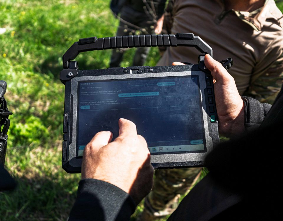
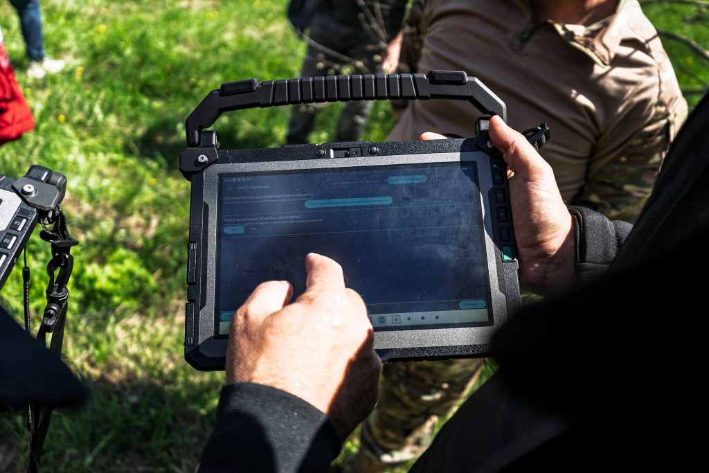
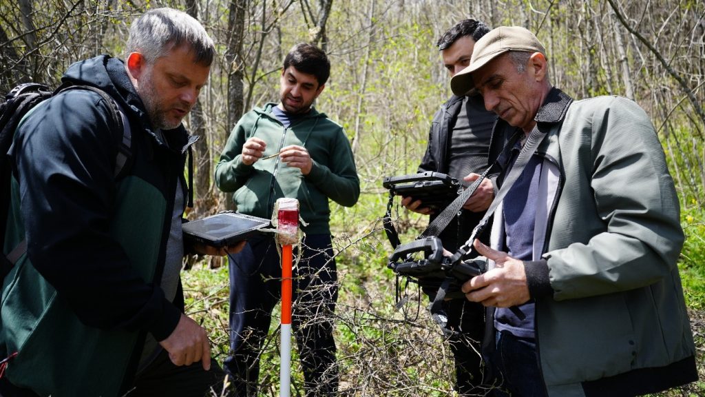
GeoID is part of Open Foris, a set of FAO-supported digital solutions for collecting, managing and analyzing information about forests, land and commodities. ©FAO/Aurélie Shapiro
06/11/2026
Rome – The Digital Public Goods Alliance (DPGA) has certified Open Foris GeoID, a software developed by the Food and Agriculture Organization of the United Nations (FAO), as a Digital Public Good (DPG).
The certification is given where open-source software, open data, open artificial intelligence (AI) models, open standards and open content adhere to privacy and other applicable international and domestic laws, standards and best practices, do no harm, and help attain the Sustainable Development Goals (SDGs).
The news was announced during the Global Forest Observations Initiative Country Forum being held this week at FAO headquarters in Rome.
GeoID makes it possible for users to share geolocation information while protecting sensitive personal data. It gives each plot of land a unique identification code that stays the same wherever the plot is registered, whether on the FAO-hosted service or in a national system, for example.
“This certification is a significant milestone for FAO. GeoID is the final piece of our free and open Digital Public Infrastructure designed to support producer countries and their small holders to maintain their livelihoods while protecting forests,” said Julian Fox, Senior FAO Forestry Officer.
Part of a wider toolkit
GeoID is part of Open Foris, a set of FAO-supported digital solutions for collecting, managing and analyzing information about forests, land and commodities; and the first FAO software to be certified as a DPG.
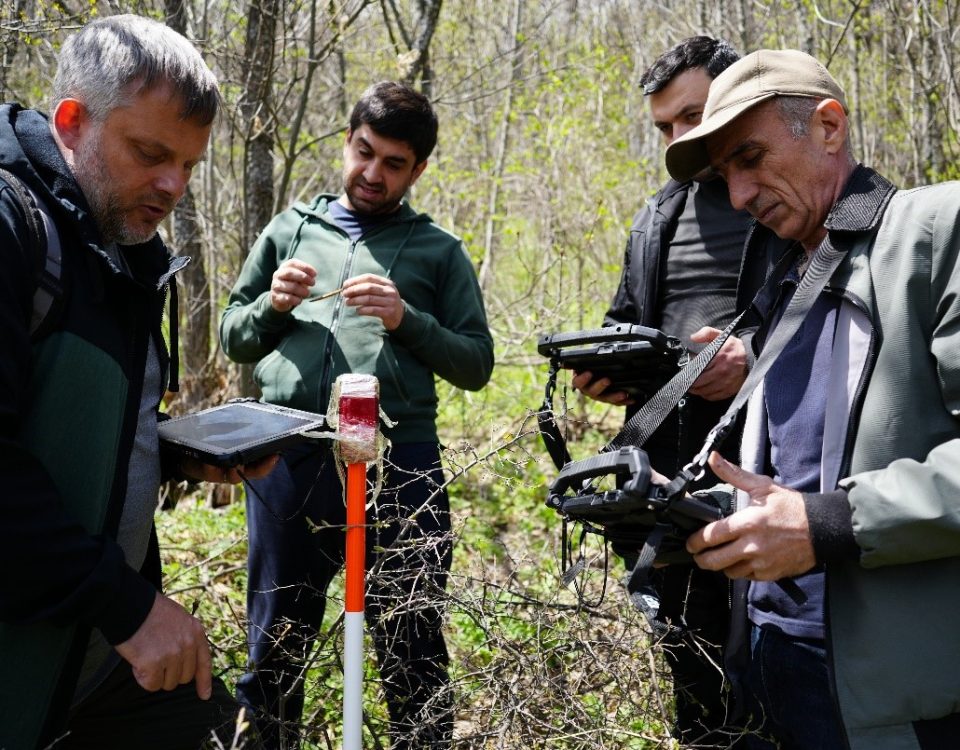
Other Open Foris solutions are also on the path towards formal DPG certification, such as Open Foris Ground – an open-source, map-first data collection platform co-developed by FAO and Google, which allows cooperatives and extension agents to map farm boundaries and record plot information in the field, even without an internet connection.
Another is Open Foris Whisp (short for “What is in that plot?”), which combines geospatial datasets and satellite-based information to provide transparent insights into a specific location, helping users understand whether the area is forest, agricultural land, or potentially linked to deforestation or disturbance.
Together, these solutions enable smallholders, producers, companies and regulators to use geospatial forest data to show that the commodities they grow, trade and buy come from deforestation-free land.
The Digital Public Goods Alliance
FAO is an official member of the DPGA, a multi-stakeholder initiative whose mission is to accelerate progress towards the Sustainable Development Goals (SDGs) by helping deploy high-quality, open-source digital solutions.
The DPGA stewards the DPG Standard and the DPG Registry, defining what qualifies as a digital public good and maintaining the only list of verified digital public goods that governments and organizations can adopt with confidence.